
Page 89 - KBHA Bulletin 13
P. 89
86
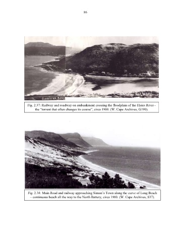
Fig. 2.37: Railway and roadway on embankment crossing the floodplain of the Elsies River -
the “torrent that often changes its course”, circa 1900. (W. Cape Archives, G190).
Fig. 2.38: Main Road and railway approaching Simon’s Town along the curve of Long Beach
– continuous beach all the way to the North Battery, circa 1900. (W. Cape Archives, S37).