Page 134 - Bulletin 17 2013
P. 134

131


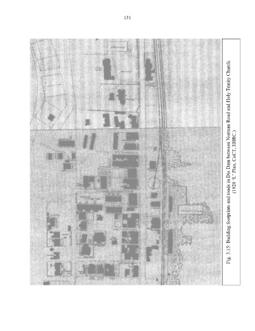
                                                                                                                  (1920 ‘L’ Plan, CoCT, EHRC.)  Fig. 3.15: Building footprints and roads in Die Dam between Norman Road and Holy Trinity Church.
   129   130   131   132   133   134   135   136   137   138   139