


Page 94 - KBHA BULLETIN 19
P. 94
91


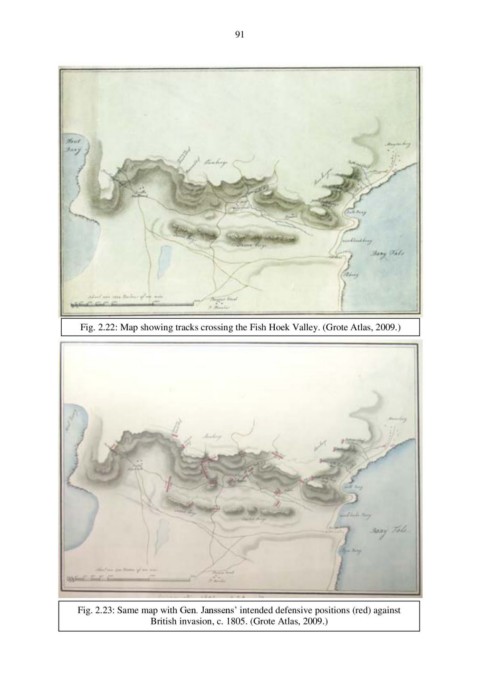
                     Fig. 2.22: Map showing tracks crossing the Fish Hoek Valley. (Grote Atlas, 2009.)


                    Fig. 2.23: Same map with Gen. Janssens’ intended defensive positions (red) against
                                      British invasion, c. 1805. (Grote Atlas, 2009.)

