


Page 128 - Bulletin 21
P. 128
125


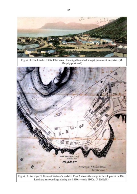
                   Fig. 4.11: Die Land c. 1906. Clairvaux House (gable-ended wings) prominent in centre. (M.
                                                       Murphy postcard.)


                 Fig. 4.12: Surveyor T Tennant Watson’s undated Plan 2 shows the surge in development on Die
                               Land and surroundings during the 1890s – early 1900s. (P Liddell.)

