


Page 194 - KBHA BULLETIN 24
P. 194
191


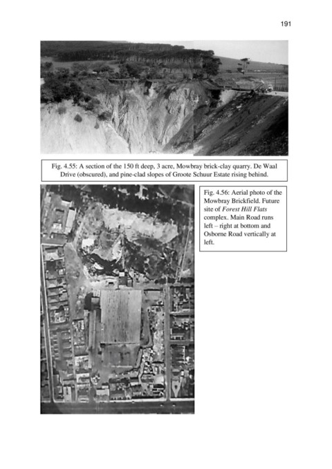
                   Fig. 4.55: A section of the 150 ft deep, 3 acre, Mowbray brick-clay quarry. De Waal
                       Drive (obscured), and pine-clad slopes of Groote Schuur Estate rising behind.


                                                                          Fig. 4.56: Aerial photo of the
                                                                          Mowbray Brickfield. Future
                                                                          site of Forest Hill Flats
                                                                          complex. Main Road runs
                                                                          left – right at bottom and
                                                                          Osborne Road vertically at
                                                                          left.

