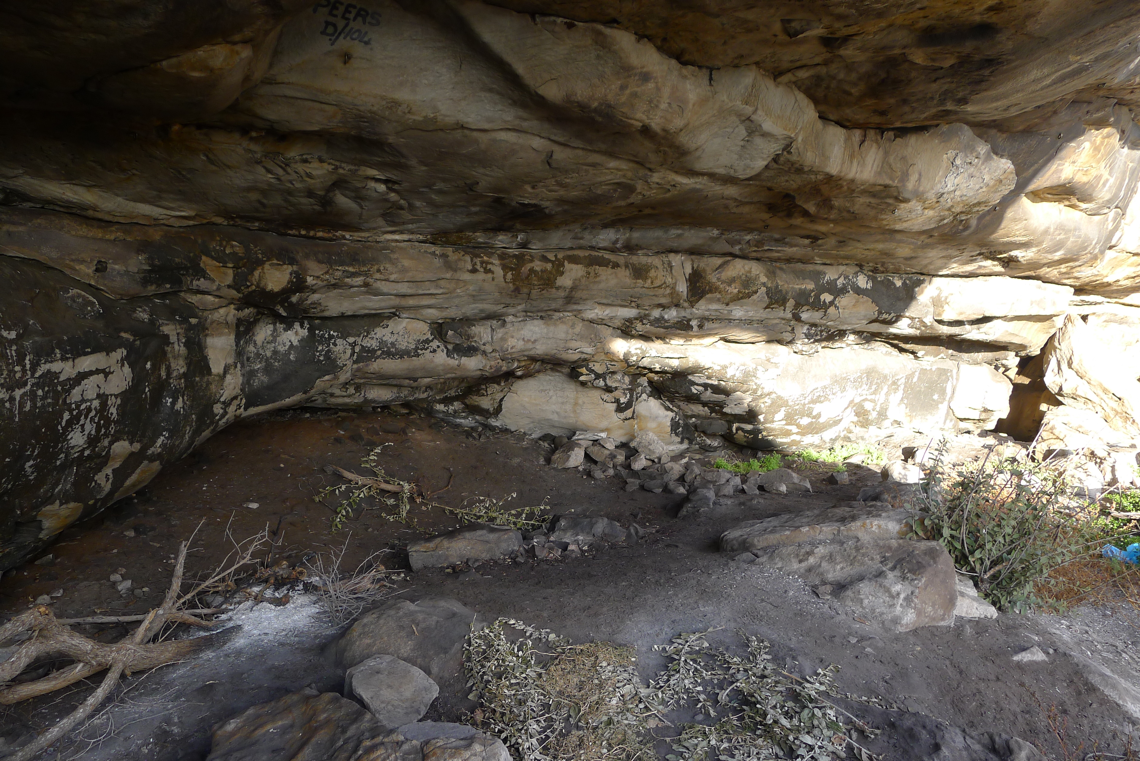
 | Khoisan hunter gatherers used the cave overhangs on Trappieskop above Kalk Bay thousands of years ago. Evidence of occupation can be seen in the middens still to be found there [photo Steve Herbert] |
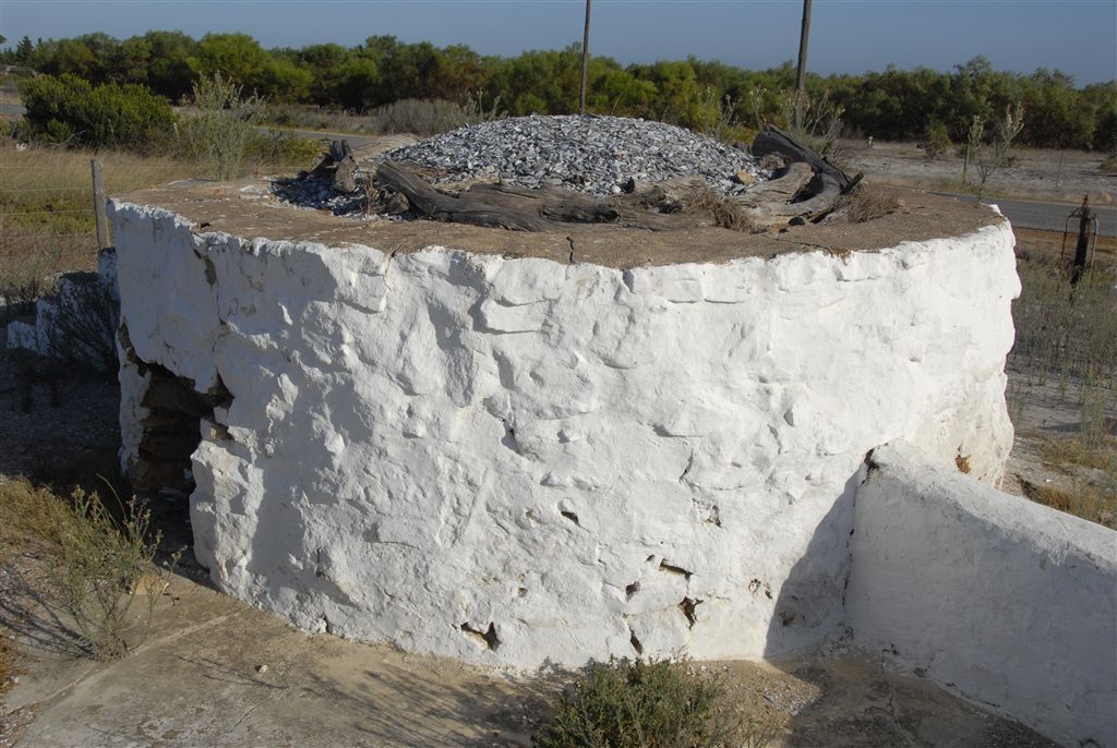 | 1600 - This limekiln in Mowbray is an example of the kilns that gave Kalk Bay its name in the 1600s [photo Limekilns website] |
 | 1800s - Early 1800s. A whale carcass being cut up on the rocks in what is now Kalk Bay Harbour [ photo Fish Hoek Valley Museum] |
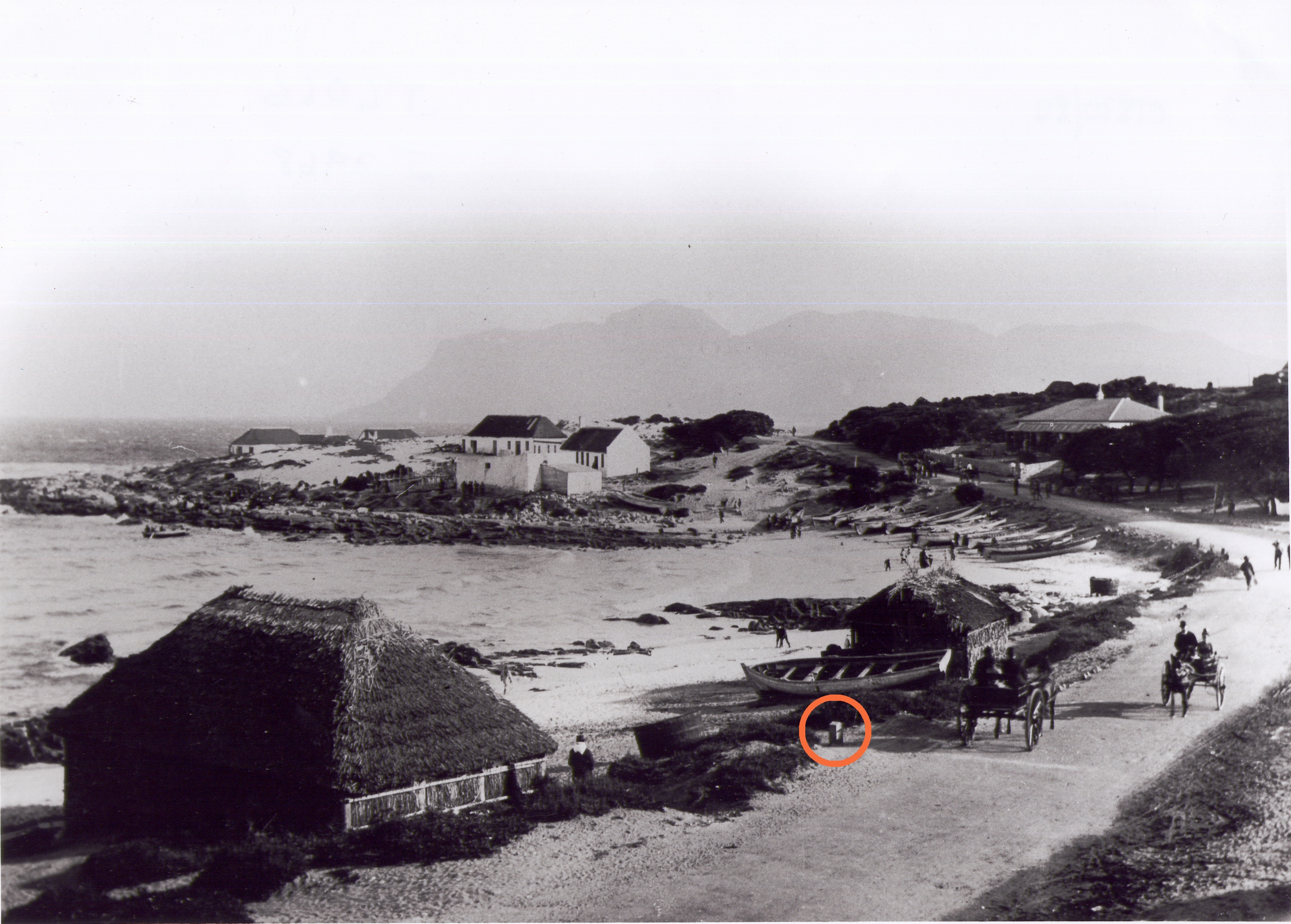 | 1808 - Milestone XVII (circled) erected c 1808. The original having been lost over the years, a replica milestone was erected in 2015 [photo c 1870 Western Cape Archives] |
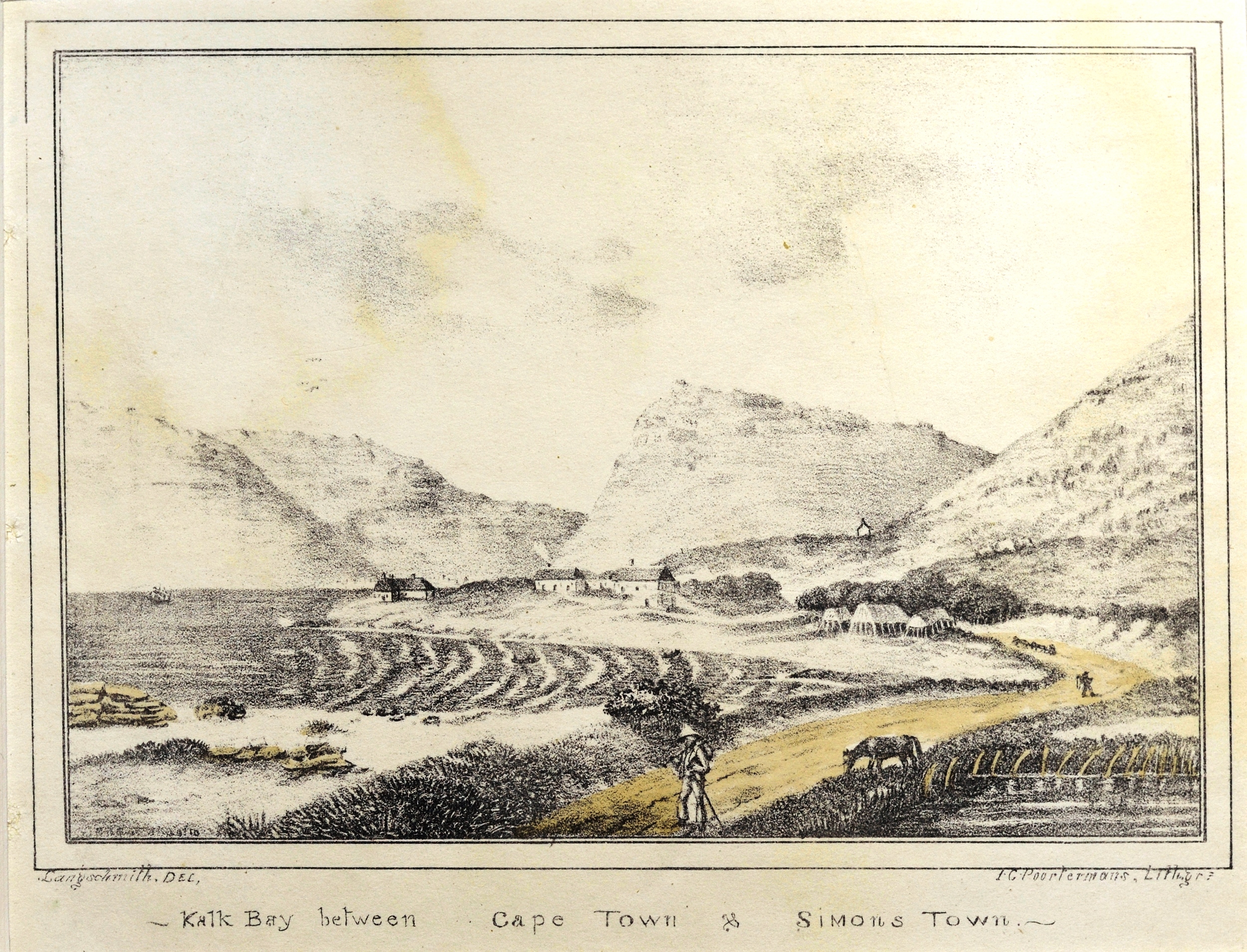 | 1844 - The earliest known image of Fishery Beach – now the harbour – note the fence of whalebones - Poortermans – Library of Parliament |
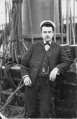 | 1850 - Felix Florez was the assumed leader of the Fillipino community that started to settle in Kalk Bay around 1850. Many of their descendants still live here [photo Adams Family website] |
 | 1858 - The first Roman Catholic Church was built and named St James. This c 1890 photo shows the Main Rd in the foreground. The railway line is on the other side of the church which was eventually demolished and moved to its present site [photo FHVM] |
 | 1865 – The earliest known photograph of the Main Road and Fishery Beach. SA National Library |
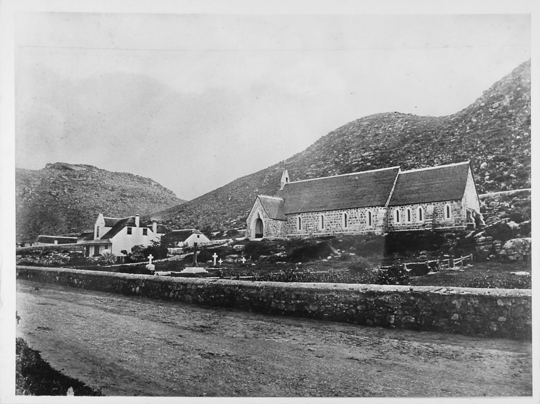 | 1873 - Holy Trinity Anglican Church was built. The cemetery was closed in 1902 in terms of Government regulations [photo FHVM] |
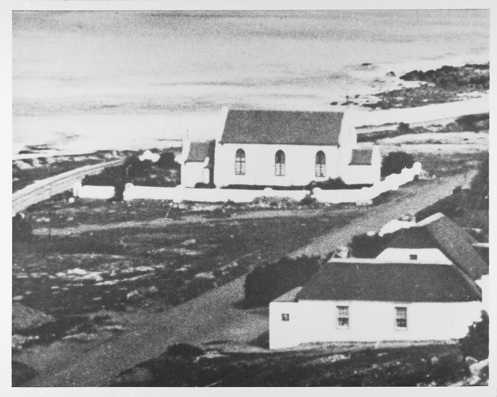
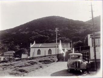
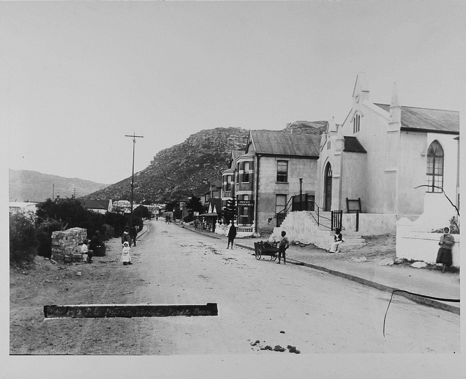 | 1876 - The Dutch Reformed Church (on the right) was consecrated in April this year and was closed as a place of worship in 1951 [photo FHVM] |
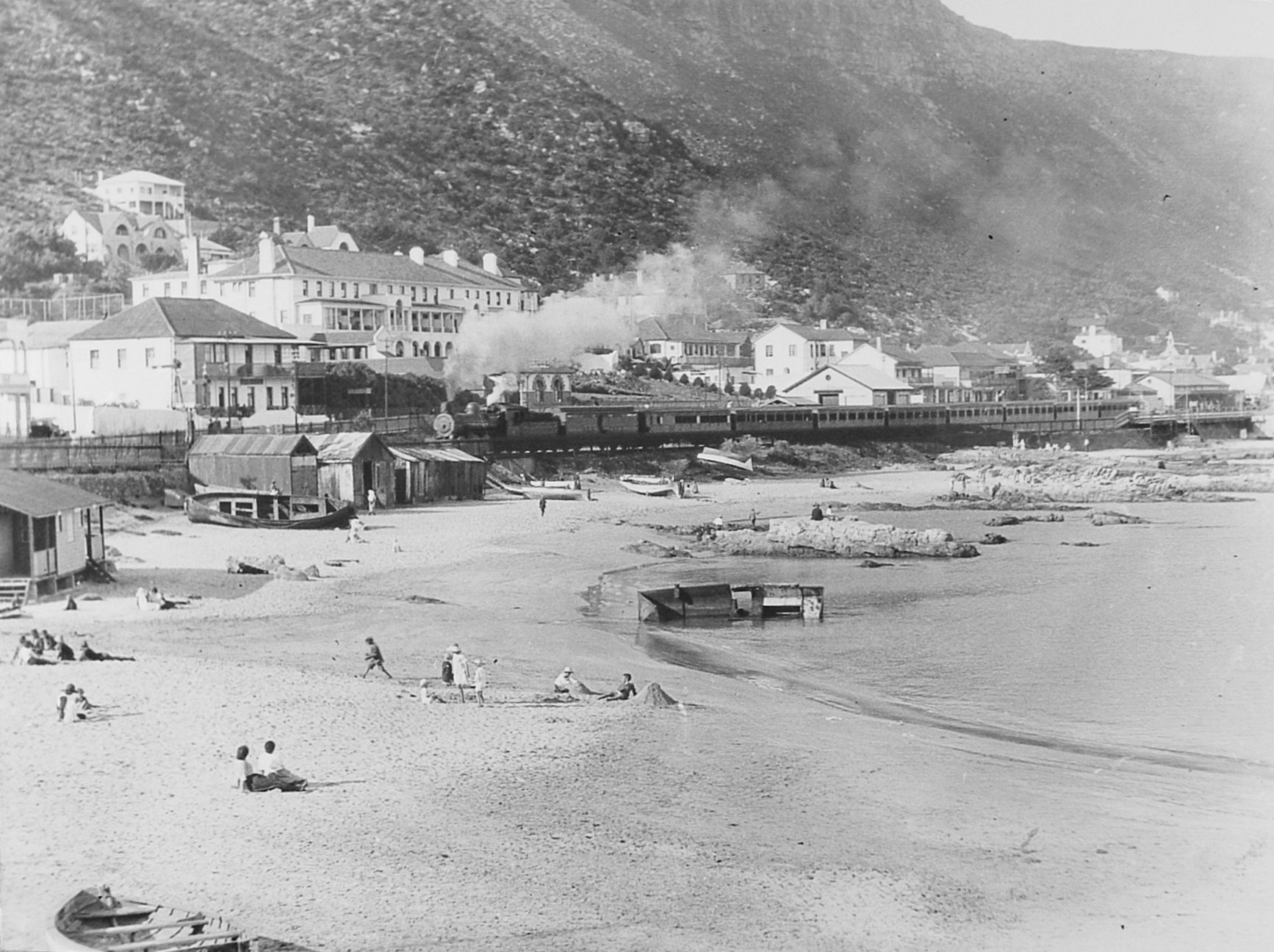 | 1883 - The railway line reached Kalk Bay bringing about many changes to the village. In 1890 the line was extended to Simon’s Town [pic c 1935 FHVM] |
 | 1898 - Gatesville Road mosque completed [pic c 1950] |
 | 1902 - First Marine Research Station (Aquarium) opened on St James Common [private collection SH] |
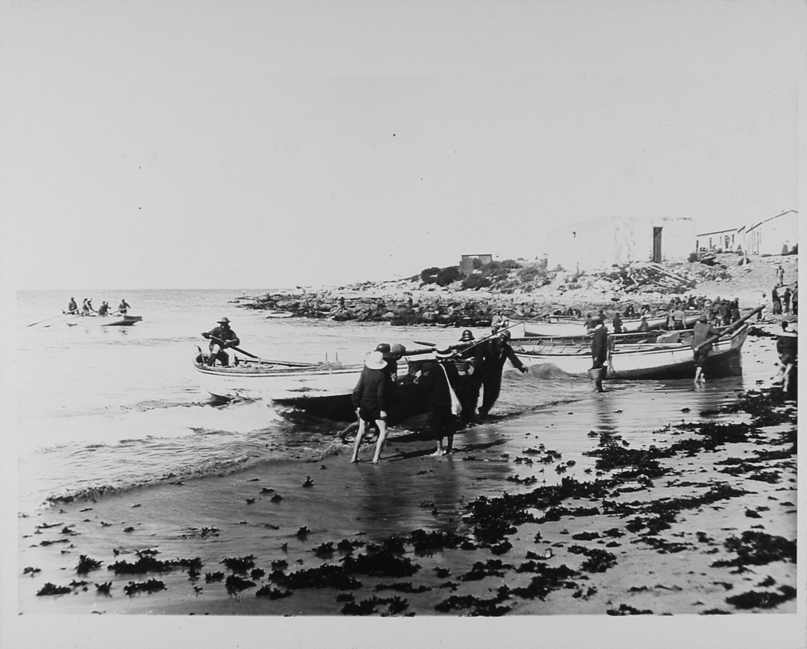 | 1902 - Fishermen haul their boats up Fishery Beach – now the beach in the harbour [FHVM] |
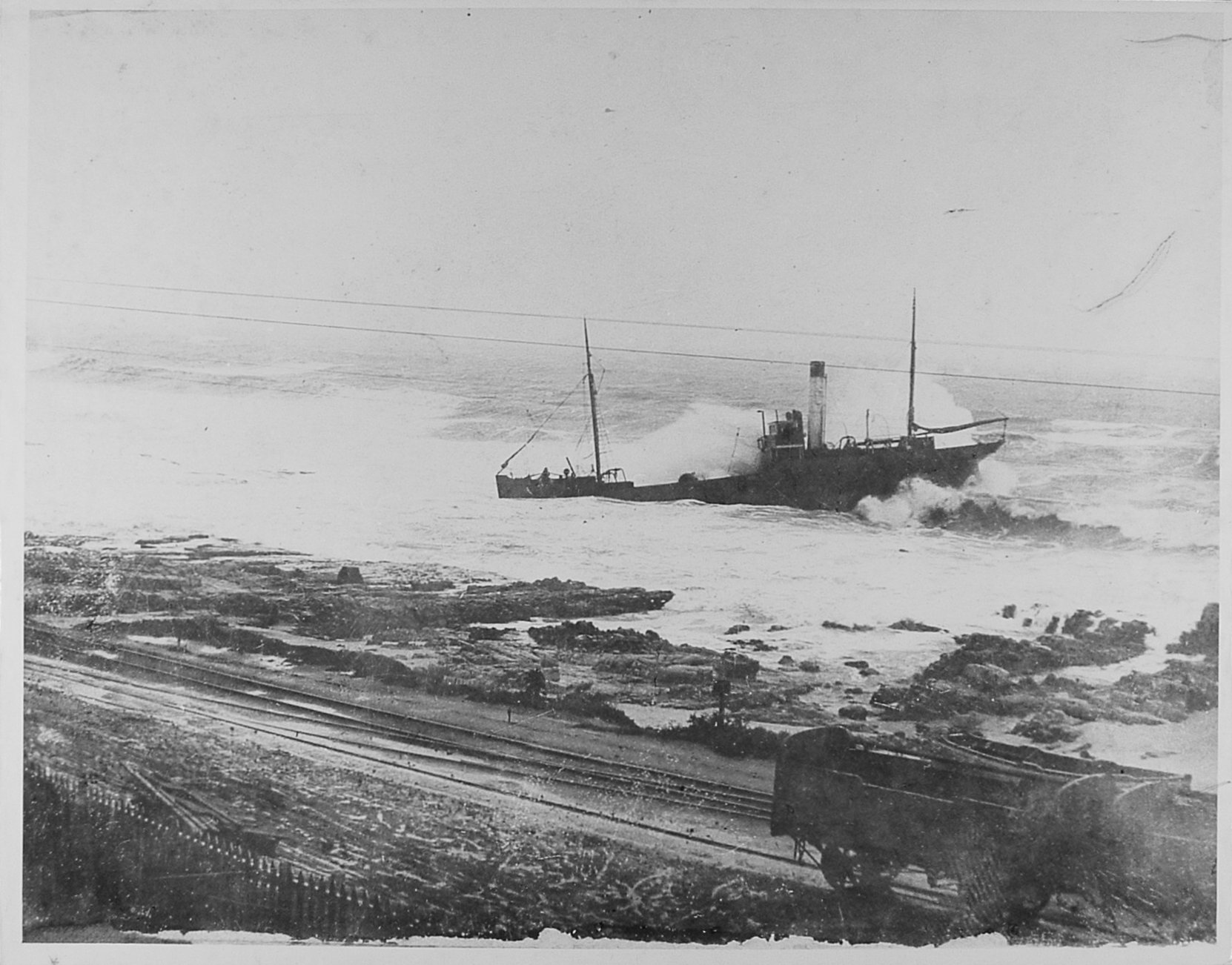 | 1903 - Loss of the Trawler ‘Rex’ leading to the liquidation of the owners – The False Bay Fish & Cold Store Company [FHVM] |
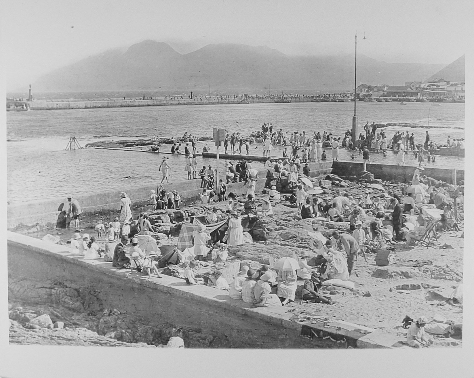 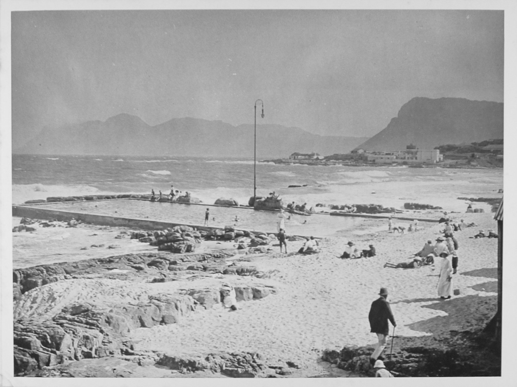 | 1911-1913 Tidal pools at St James, Dalebrook, Kalk Bay and Woolley’s Pool completed [FHVM] |
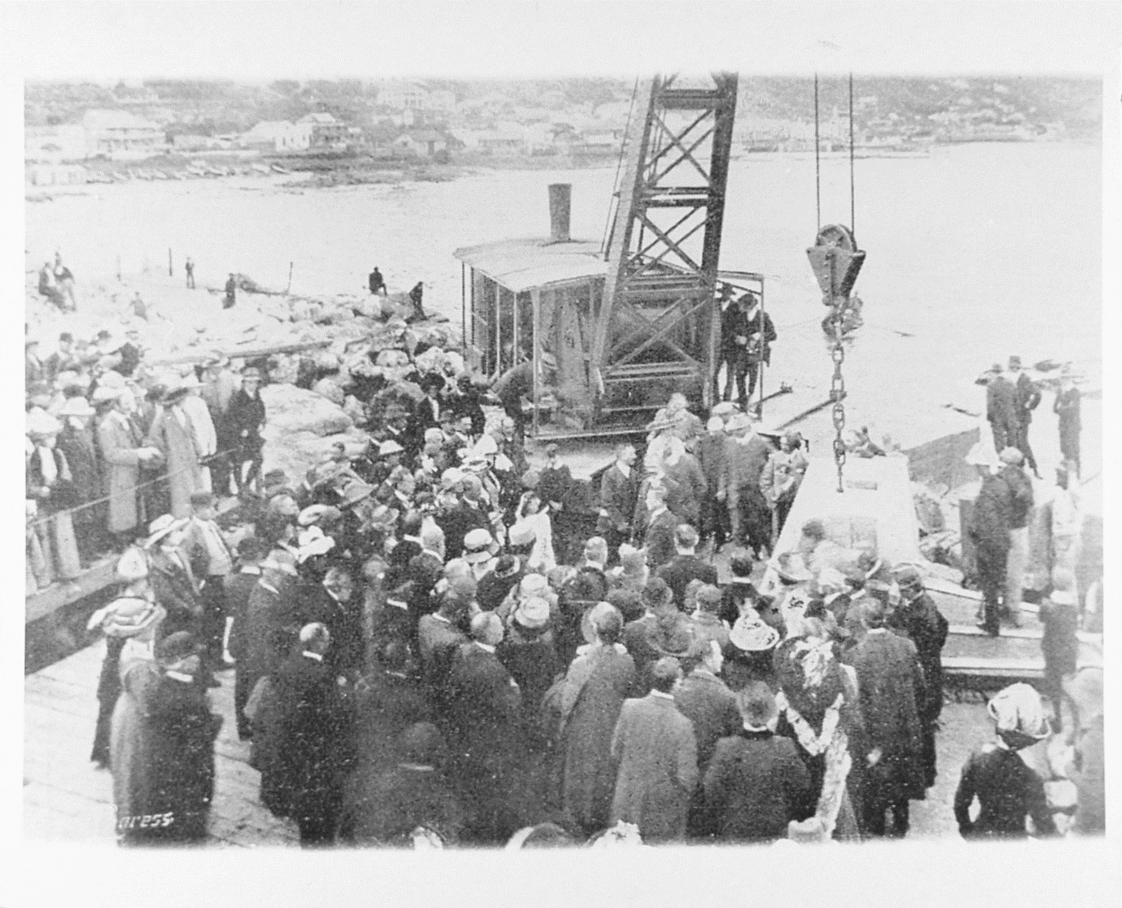 | 1913 - Construction starts on Kalk Bay Harbour – laying the foundation stone June 1913 [FHVM] |
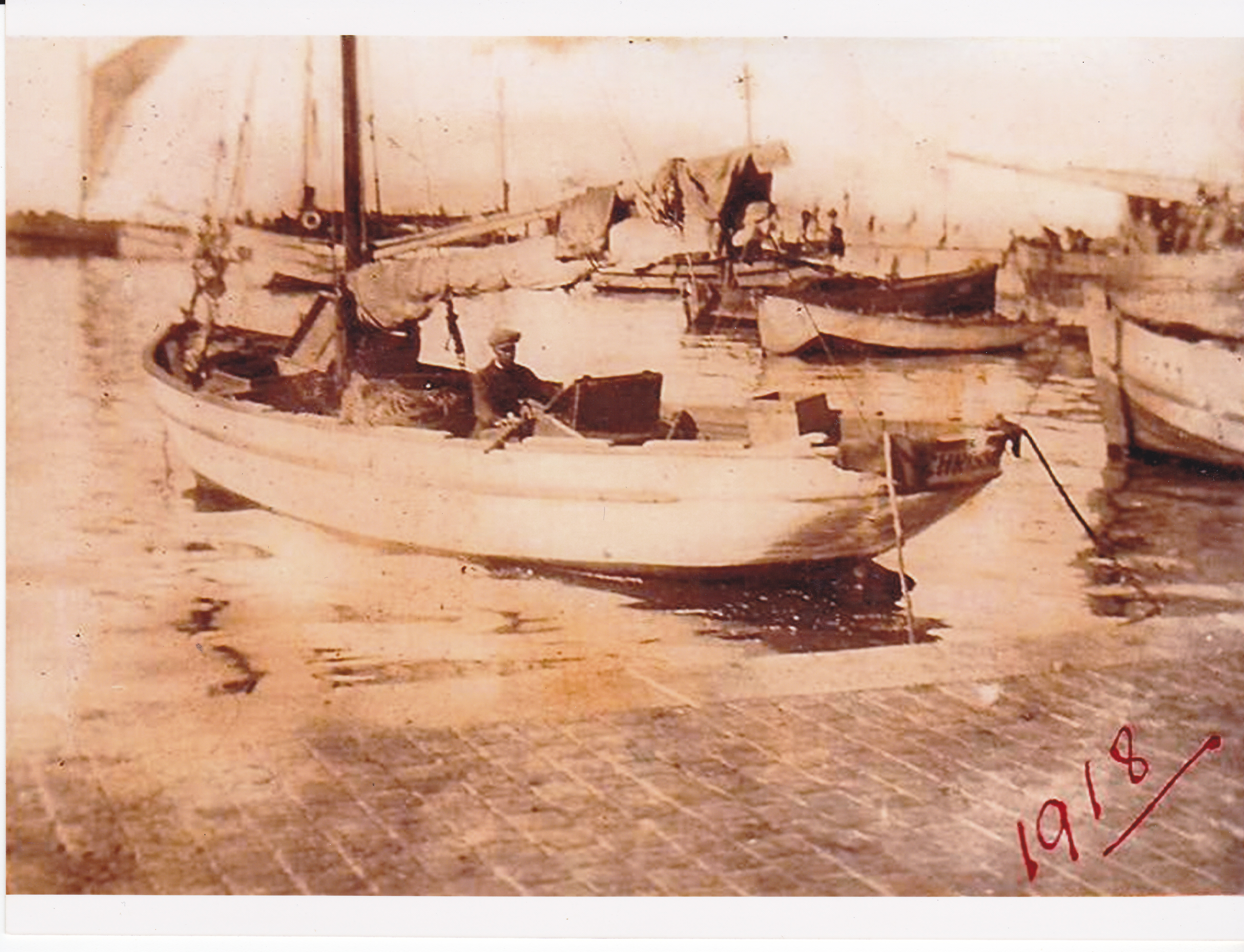 | 1918 - With the outer wall complete many fishing boats still used sails [Ladan Family album] |
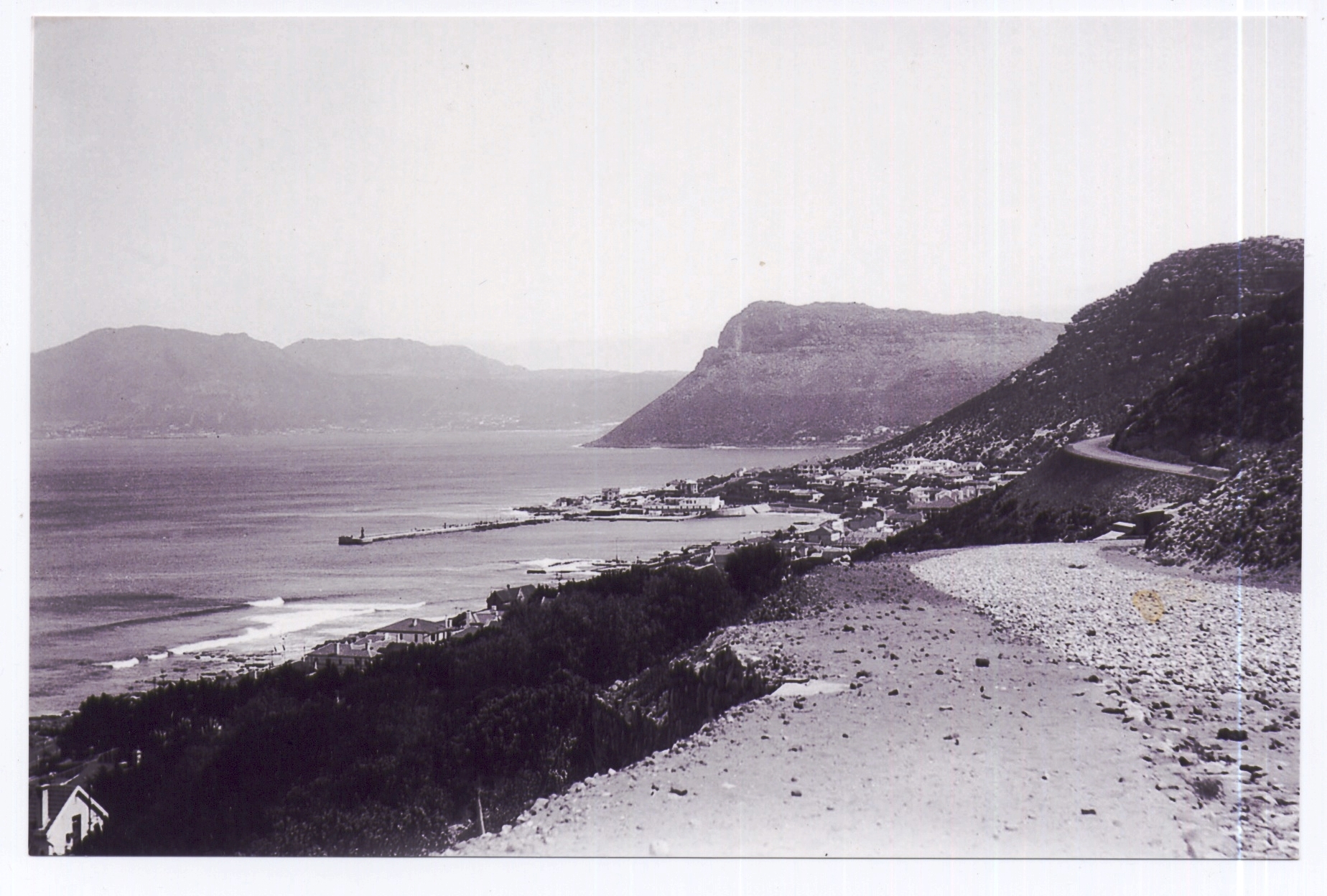 | 1929 - Boyes Drive completed – this picture c 1928 shows part of the station housing the convicts used in the construction (right centre) now the site of the house Petrava [City Council] |
 | 1940-1945 Fishermen’s Flats built to replace slum housing by Cape Town City Council. 1947 the St James RC Mission School was completed – see right of centre [2017 Steve Herbert] |
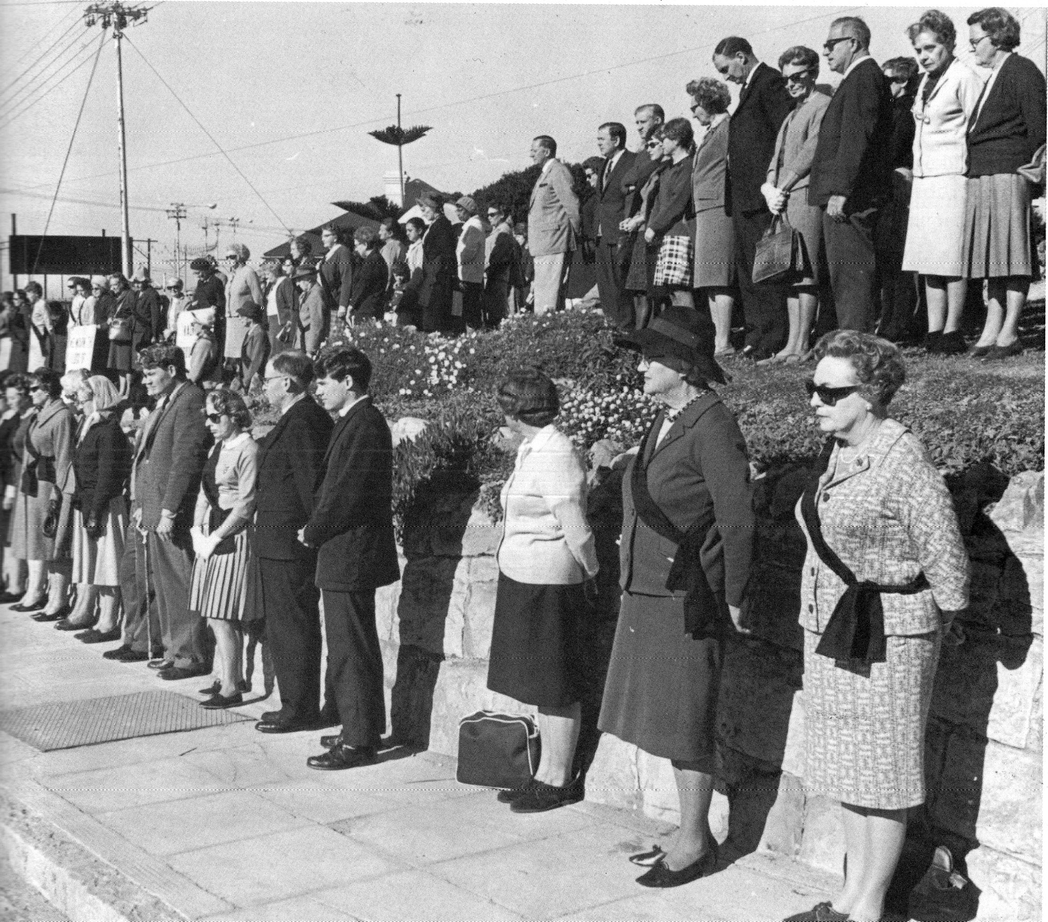 | 1967 - Members of the Black Sash protest on Clairvaux Road against the implementation of the Group Areas Act. Many families were forced to leave Kalk Bay with other fishing families being given a 15 year reprieve |