Page 112 - Bulletin 19 2015
P. 112

109


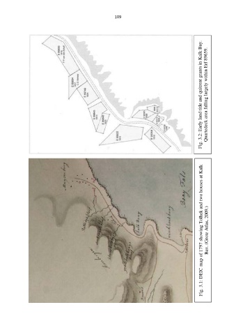
                                                                                                       Fig. 3.2: Early land title and quitrent grants in Kalk Bay.  Quartedeck area falling largely within Erf 89659.


                                                                                                          Bay. (Grote Atlas, 2009.)  Fig. 3.1: DEIC map of 1797 showing Tolhek and two houses at Kalk
   107   108   109   110   111   112   113   114   115   116   117