
Page 167 - Bulletin 22
P. 167
164
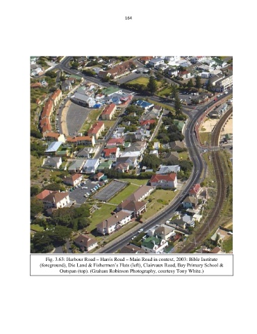
Fig. 3.63: Harbour Road – Harris Road – Main Road in context, 2003: Bible Institute
(foreground), Die Land & Fishermen’s Flats (left), Clairvaux Road, Bay Primary School &
Outspan (top). (Graham Robinson Photography, courtesy Tony White.)