


Page 110 - KBHA BULLETIN 24
P. 110
107


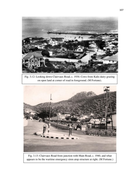
                      Fig. 3.12: Looking down Clairvaux Road, c. 1930. Cows from Kalis dairy grazing
                                  on open land at corner of road in foreground. (M Fortune).


                          Fig. 3.13: Clairvaux Road from junction with Main Road, c. 1940, and what

                        appears to be the wartime emergency siren atop structure at right. (M Fortune.)

