Page 158 - Bulletin 7 2003
P. 158

155


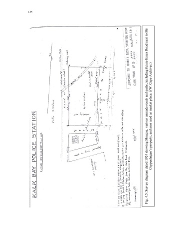
                                                                                                         Fig. 4.5: Survey diagram dated 1924 showing Morgue, various unmade roads and paths, including future Essex Road next to Mr  Coppenhagen’s property, and area used as market place. ((W. Cape Archives.)
   153   154   155   156   157   158   159   160   161   162   163