


Page 67 - KBHA Bulletin 14
P. 67
63


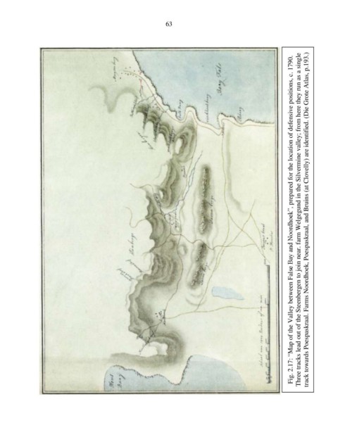
                                                                                                           Fig. 2.17: “Map of the Valley between False Bay and Noordhoek”, prepared for the location of defensive positions, c. 1790.  Three tracks lead out of the Steenbergen to join near. farm Welgegund in the Silvermine valley; from here they run as a single  track towards Poespaskraal. Farms Noordhoek, Poespaskraal, and Bruins (at Clovelly) are identified. (Die Grote Atlas, p.193.)

