
Page 15 - KBHA BULLETIN 8
P. 15
12
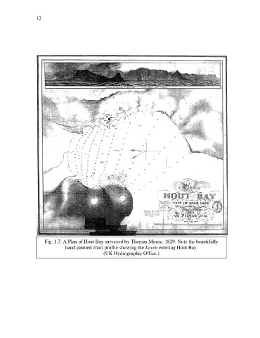
Fig. 1.7: A Plan of Hout Bay surveyed by Thomas Moore, 1829. Note the beautifully
hand-painted chart profile showing the Leven entering Hout Bay.
(UK Hydrographic Office.)